

What is positioning and how does it work?
Today, many devices—including smartphones, GPS trackers and smartwatches—can determine their location. They use three different technologies: GNSS, LBS and Wi-Fi positioning. Each has its own advantages, accuracy and applications.
GNSS — Satellite positioning
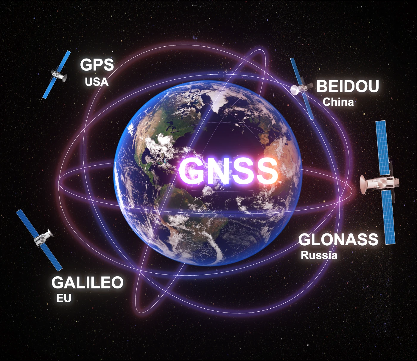
GNSS (Global Navigation Satellite System)is the collective term for satellite navigation systems operating worldwide. Think of GNSS as a global radio broadcast from space. The device receives satellite signals to determine its location. Outdoors, it is the most accurate positioning method.
Examples include:
– GPS (USA)
– GLONASS (Russia)
– Galileo (Europe)
– BeiDou (China)
Satellites orbiting Earth continuously transmit signals. The device receives them and calculates its location using signal travel times and each satellite's position. Imagine being in open countryside without mobile internet but with a vehicle navigation device. GPS signals let the device show your location within a few metres, even with no buildings or roads nearby.
Advantages:
– High accuracy, down to 1–5 metres.
– Works worldwide.
Disadvantages:
– Reception may be unavailable indoors, in tunnels or between tall buildings.
– Acquiring satellite signals can take several seconds, especially on first use.

GSM/LBS
LBS — Positioning using mobile base stations
LBS (Location-Based Services) estimates a device's location using signal information from nearby base stations.
When connected to a mobile network, a device communicates with nearby base stations. Its approximate location can be estimated from the stations and signal strengths. Imagine driving and briefly losing GPS reception, for example in a tunnel. The device still knows which base stations it can reach, allowing the district or area to be estimated even without a precise position.
Advantages:
– Works indoors or where GPS reception is unavailable.
– Fast, with no additional configuration needed.
Disadvantages:
– Low accuracy, from 300 metres to several kilometres.
– Less precise in areas with few base stations.

Wi-Fi/LBS
Wi-Fi positioning — Locating a device using Wi-Fi networks
Wi-Fi positioning lets a device estimate its location by scanning nearby Wi-Fi networks.
The device does not have to connect to these networks: it scans network identifiers and signal information and compares them with a central database of known locations. Where known networks are present, it can estimate its location fairly accurately. For example, inside a shopping centre where GPS is unavailable, a device can detect shops' Wi-Fi networks and use previously recorded location data to help establish its whereabouts.
Advantages:
– Relatively high accuracy in urban and indoor environments, around 20–300 metres.
– Low energy consumption and fast results.
Disadvantages:
– Does not work where no known Wi-Fi networks are present.
– Ineffective in open countryside or rural areas.
Why do these differences matter?
GNSS/GPS, Wi-Fi and GSM/LBS are complementary positioning methods. Where one is insufficient, another can provide location information.
The principle is simple: for GSM/LBS, more available base stations generally improve location accuracy. In parts of a city, base stations may be about 500 metres apart. Small-cell mobile infrastructure and nearby Wi-Fi access points also provide alternative location data. In rural areas, a single base station may serve an area spanning 20 kilometres.
| Environment | GPS / GNSS | GSM / LBS | Wi-Fi / LBS |
| Major city centre | 5–50 m | 100–500 m | 20–100 m |
| Urban residential area | 5–30 m | 300–1.000 m | 20–150 m |
| City outskirts | 3–15 m | 500 m–3 km | 30–300 m |
| Rural area | 3–10 m | 1–5 km | 50–500 m |
| Remote areas | 3–10 m | 5–20 km or more | 50–1.000 m* |
Most modern devices use these systems together . This improves positioning and provides an alternative when a signal is lost.
These values indicate approximate location errors, not guaranteed accuracy limits. GPS/GNSS requires sufficient satellite reception. Wi-Fi/LBS requires detectable nearby access points listed in the positioning database and may be unavailable in rural or remote areas. GSM/LBS accuracy depends on base station density and the positioning method used.
Multiple positioning technologies
TelemaTek İM3L supports several positioning methods, including GNSS (GPS, GLONASS), GSM/LBS and Wi-Fi, to help obtain the best available location information under different conditions. Alternative methods help collect location data when satellite signals are weak or indoors.
Easy to use and highly reliable
Learn more about the TelemaTek İM3L device

How to choose a tracking device
Learn the differences between online, autonomous and Bluetooth trackers, and what to consider when choosing a device for your application.

How does satellite positioning work?
Learn how satellite signals are received, what affects signal quality and why correct device placement matters.